If you crave sunrise trail runs, big-sky sunsets, and a short hop to Pearl Street, Boulder Heights might be your sweet spot. You want privacy and views without giving up easy errands, and you care about design, permits, and practical details. In this guide, you will learn how daily life works in a close-in foothills neighborhood, from trail access and microclimate to utilities, commuting, wildfire readiness, and building rules. Let’s dive in.
Quick orientation
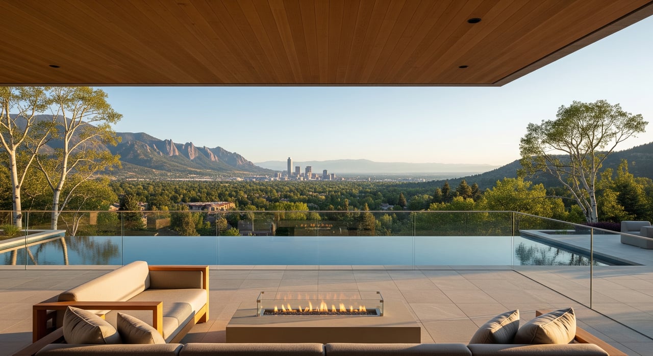
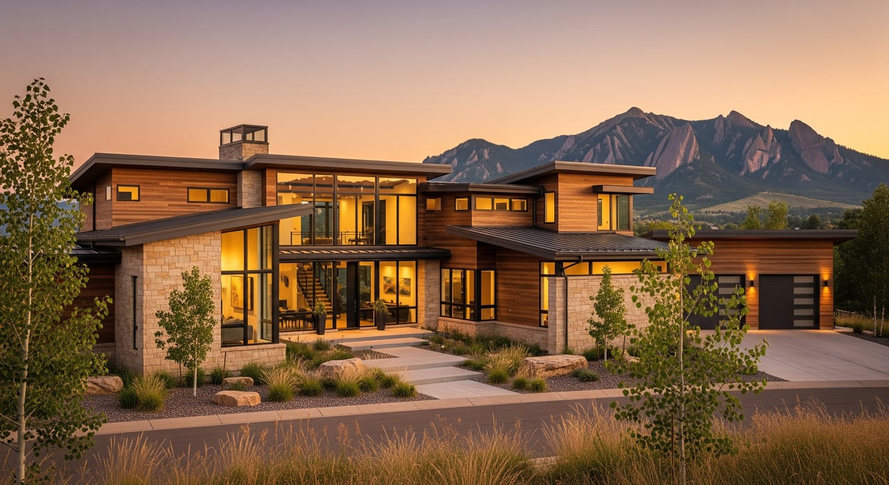
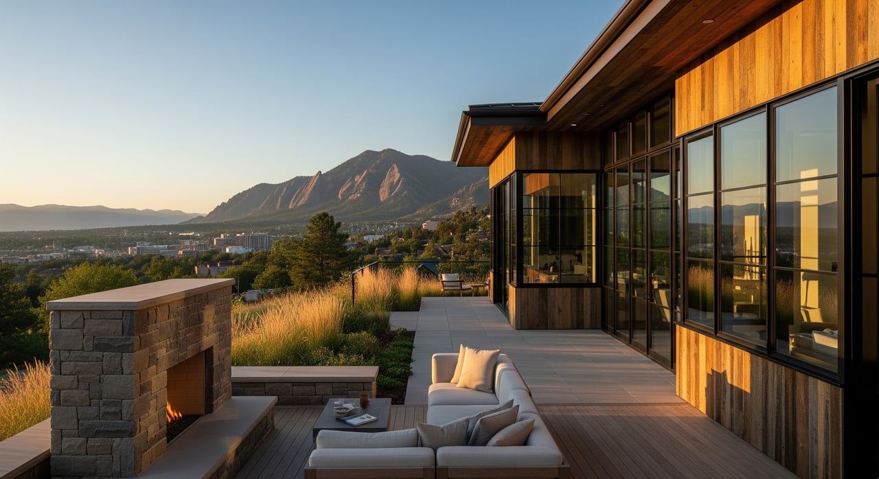
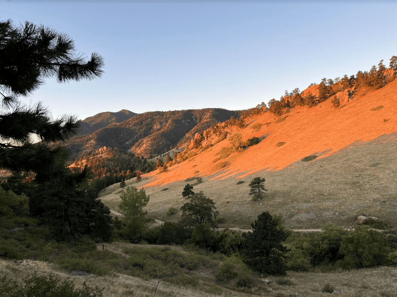
Boulder Heights sits in the close-in foothills above Boulder, typically a 5–15 minute drive to downtown and Pearl Street depending on your exact address and the road grade. You are perched at higher elevation than central Boulder, which sits near 5,400 feet. That elevation often means wider western views across ridgelines and the Continental Divide on clear days. Expect a quiet, natural setting with winding roads and rock outcrops that shape how homes sit on the land.
Views, sun, and microclimate
South-facing slopes get more winter sun and can melt snow faster, while north-facing aspects stay cooler and hold snow longer. This matters for driveway orientation, window placement, and outdoor living season. Afternoons can be warm and sunny much of the year, with quick-moving summer storms in the high country and cold, snowy winters. For climate context and seasonal patterns, check the National Weather Service Boulder office.
Design takeaways
- Plan glazing and decks toward west and southwest vistas for sunsets while managing glare and summer heat load.
- Favor durable exterior materials and thoughtful drainage on steep lots.
- Consider mudrooms, boot storage, and gear walls if your routine includes daily hikes or skis.
Trails and the outdoor rhythm
One of the biggest perks here is quick access to a year-round trail network for hiking, running, and, where allowed, mountain biking. Many residents build their days around sunrise walks or quick after-work loops. Use the OSMP interactive trails map to see trailheads, permitted uses, and seasonal closures. If you like technical climbing or a dramatic canyon setting, Eldorado Canyon State Park is a short drive away for day trips.
Everyday trail-friendly features
- Storage for bikes, skis, and packs
- Hose bibs or outdoor rinse areas for muddy dogs and boots
- Easy vehicle access for busy trailhead parking days
Getting around and daily errands
From most close-in foothills addresses, the trip to central Boulder is typically 5–15 minutes, depending on road conditions and slope. Denver commutes are commonly in the 30–45 minute range by car, traffic permitting. The Regional Transportation District offers city and regional bus service, but last-mile access from hillside streets is limited, so most residents rely on a car for errands. Plan routes and timing with RTD schedules.
Shopping and services
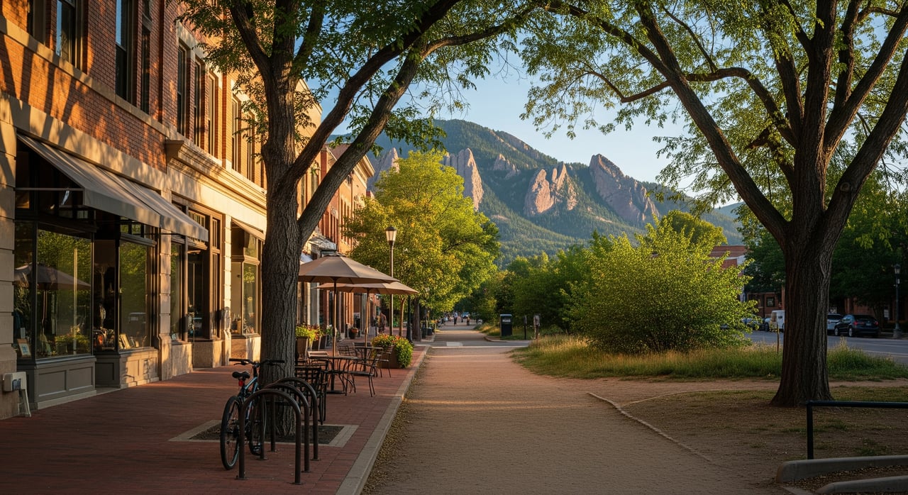
Pearl Street serves as the go-to for dining and boutique retail, while North Boulder and other commercial corridors support day-to-day groceries and services. Larger-format shopping lives in nearby towns and along arterial corridors. Many residents batch errands on the way home from a trailhead or downtown.
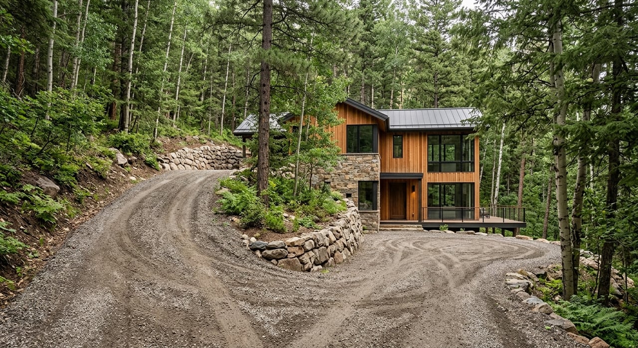
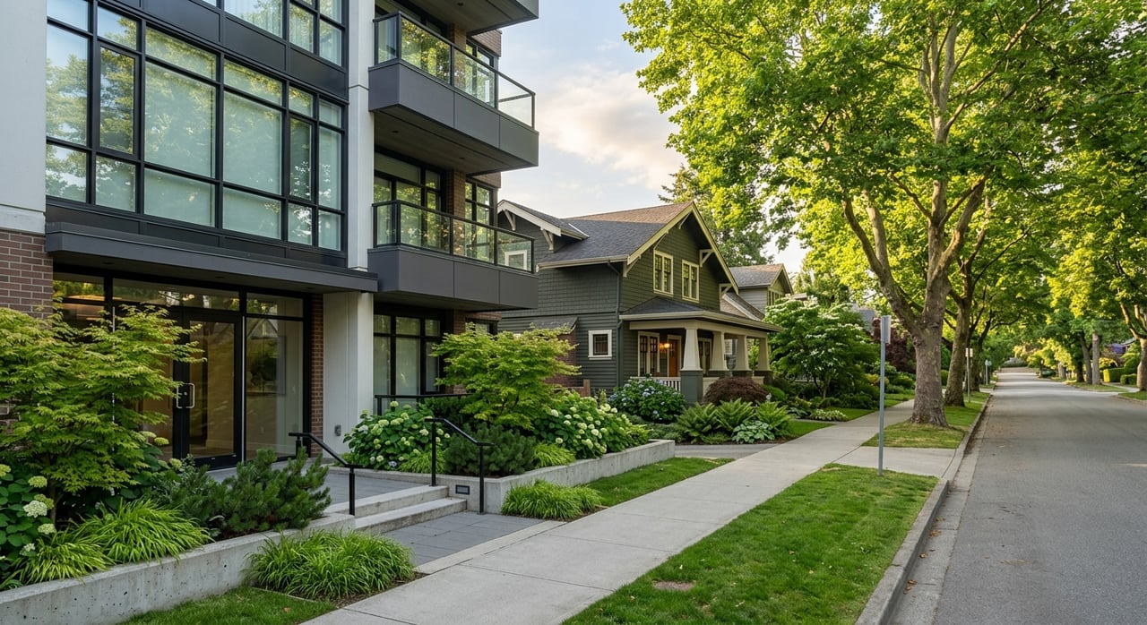
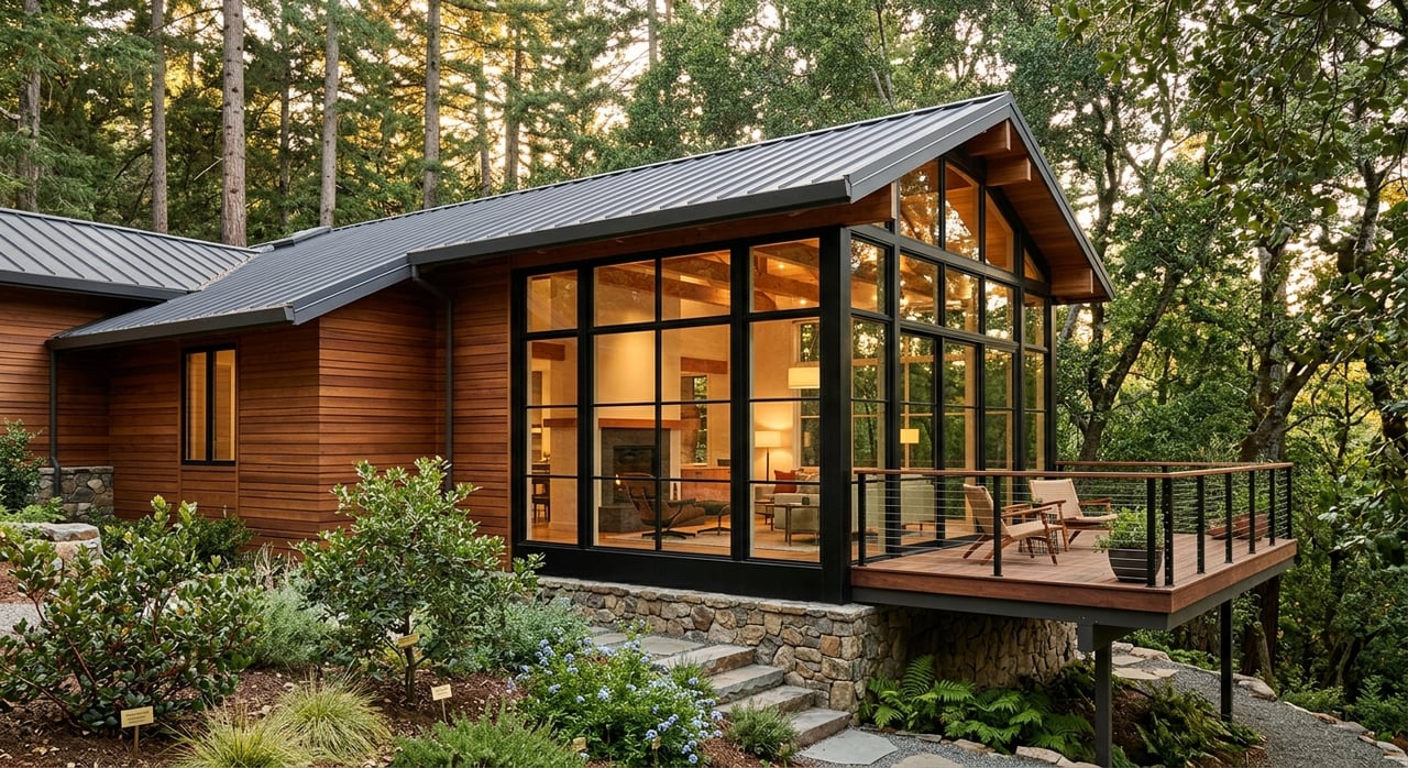
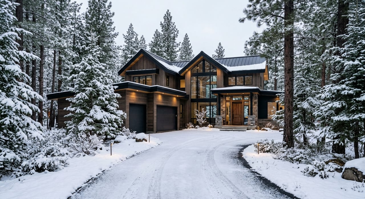
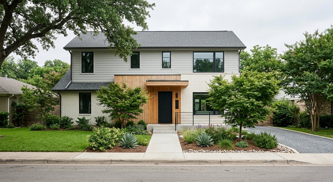
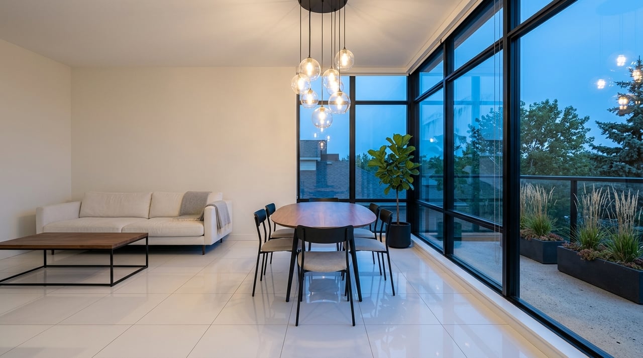
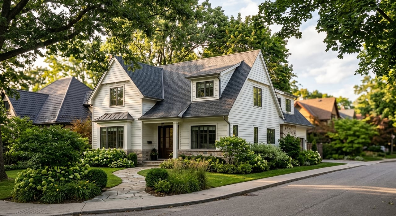
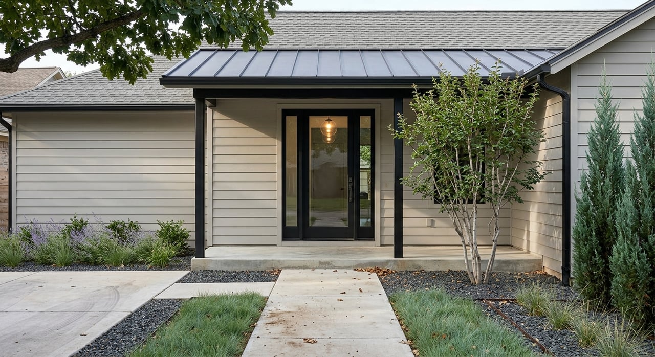
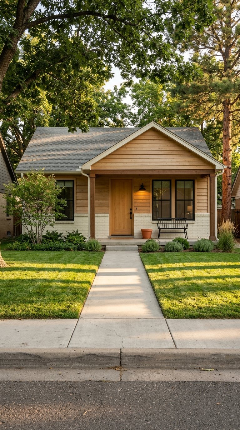
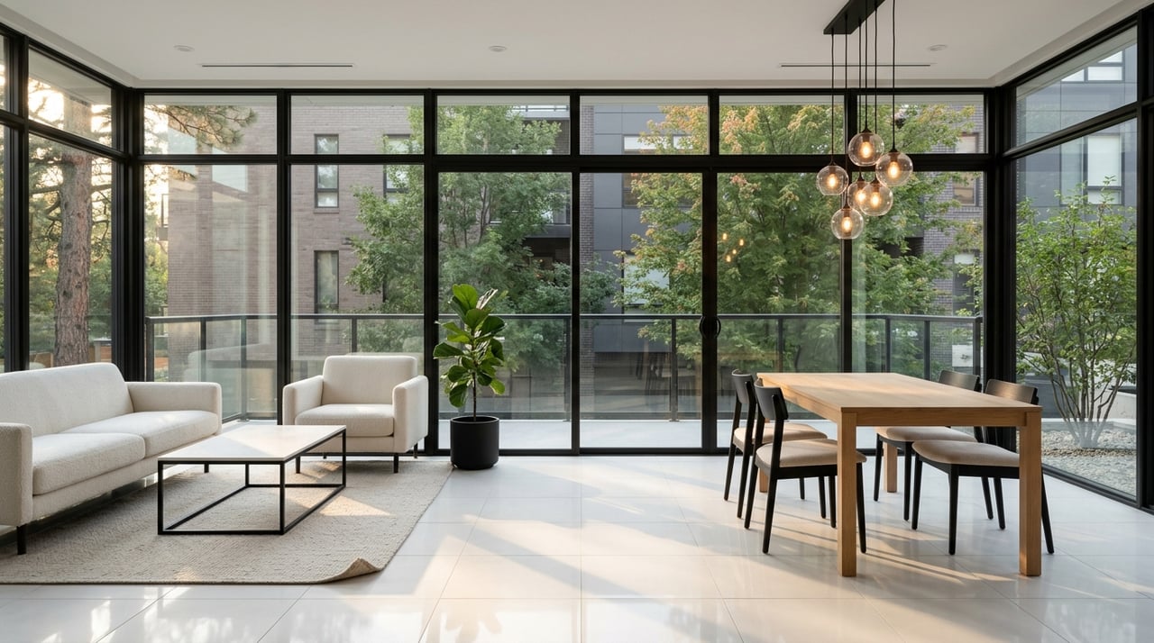
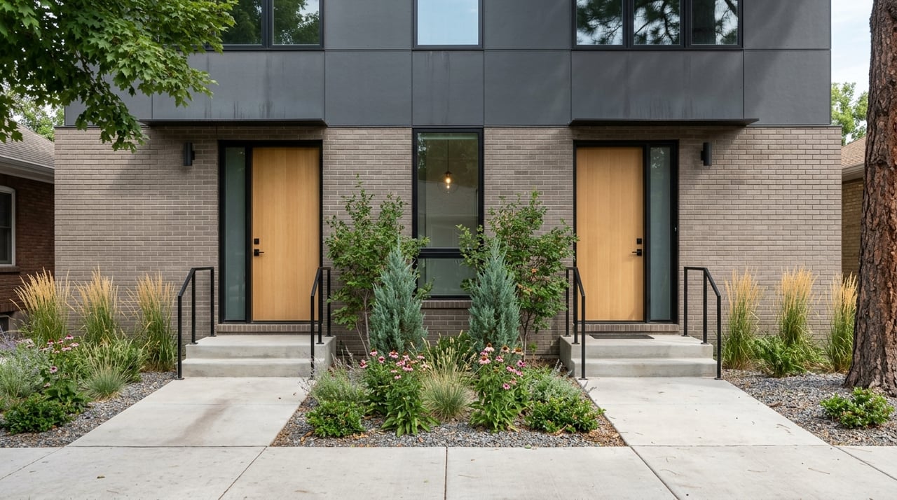
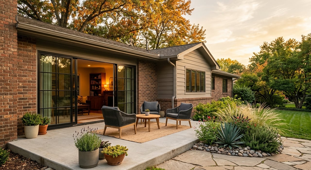
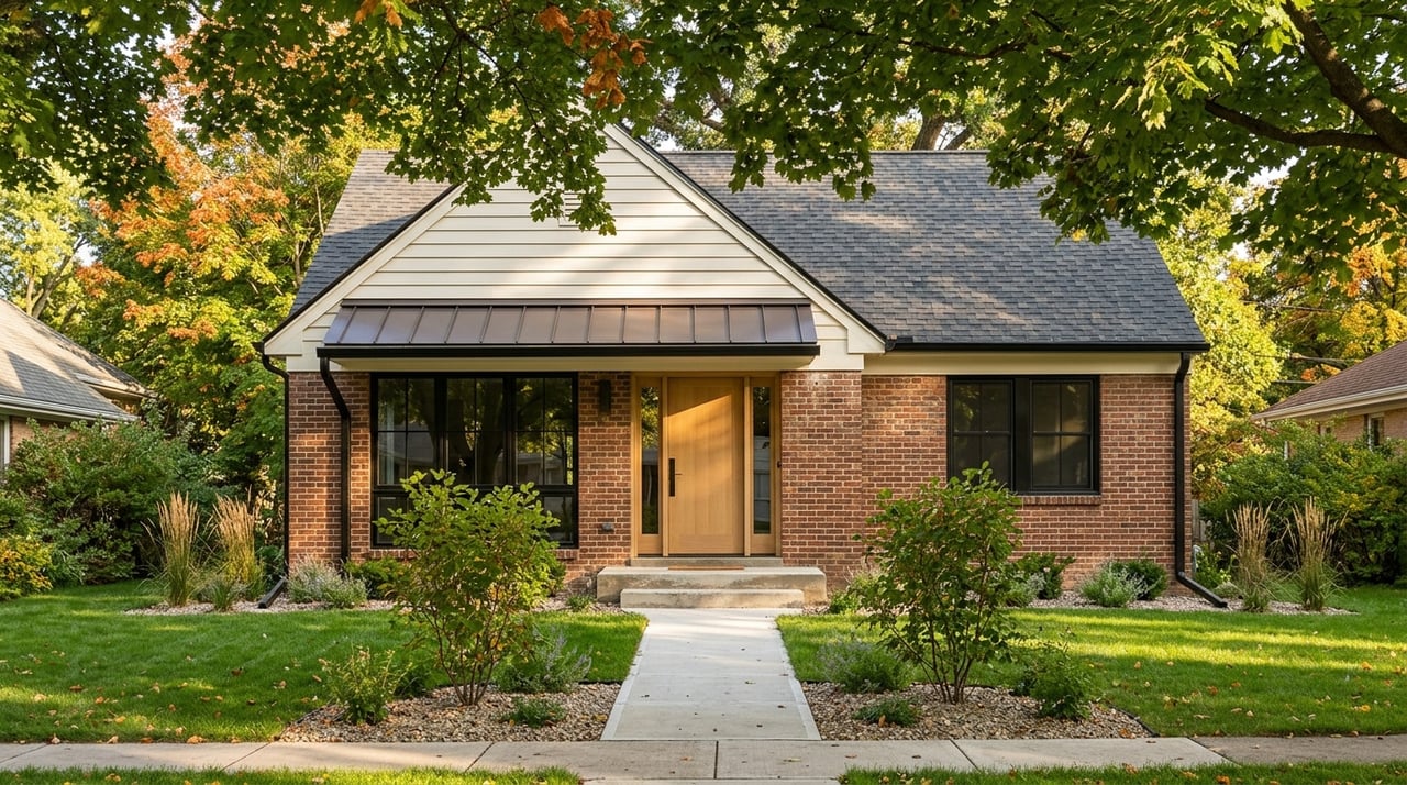
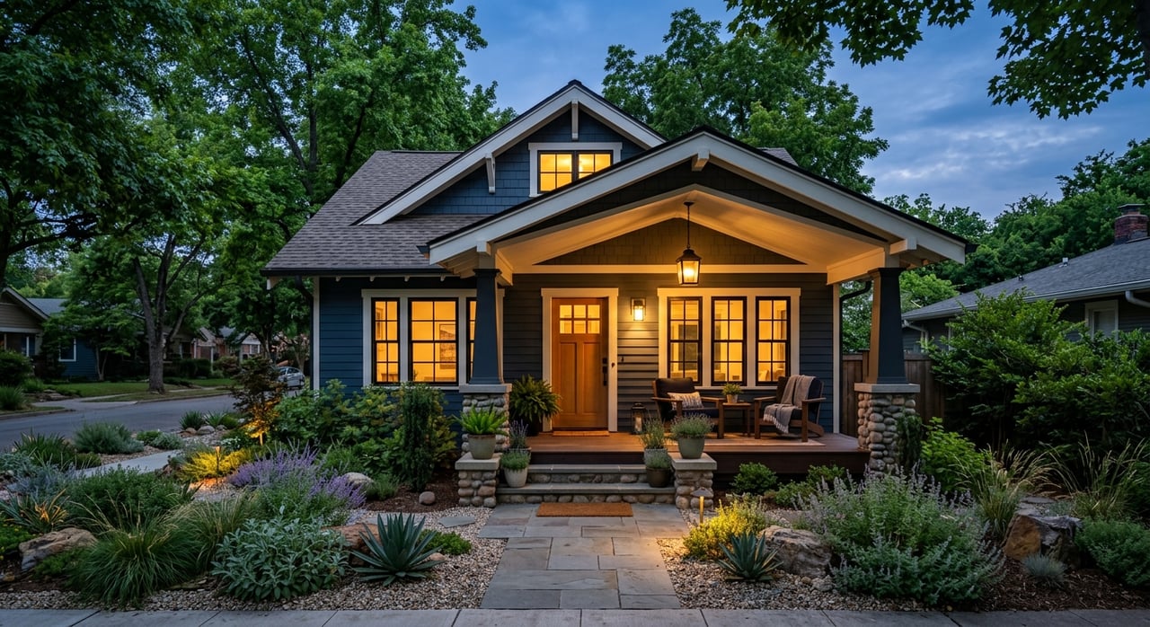
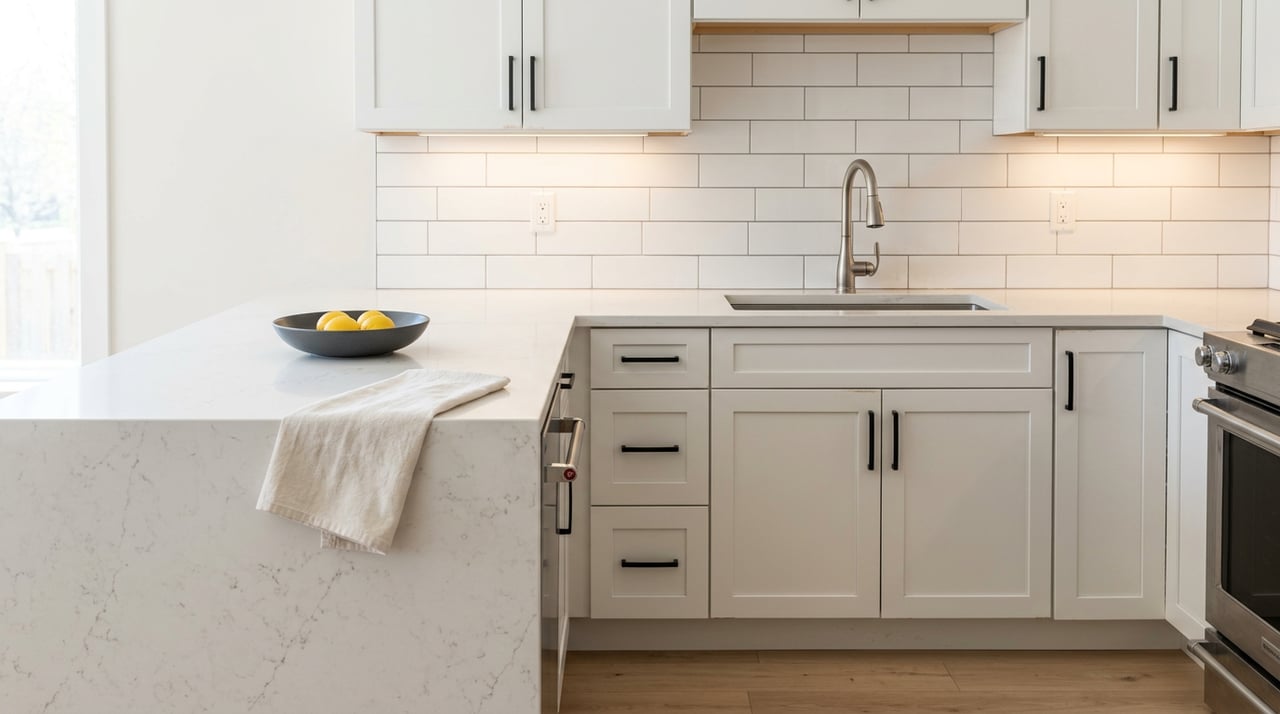
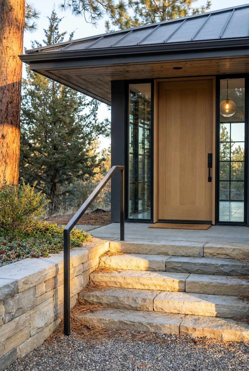
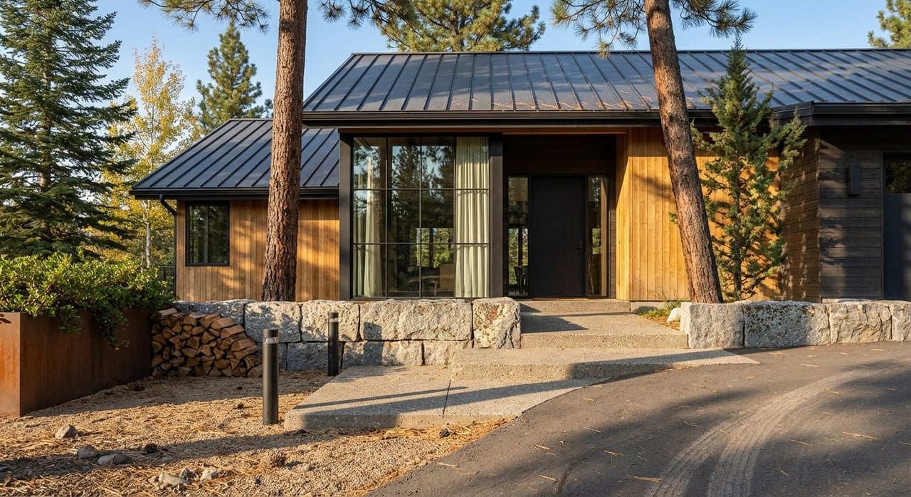
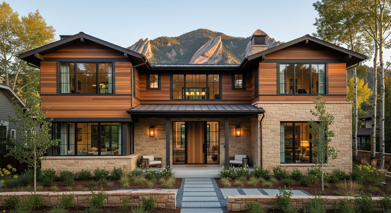
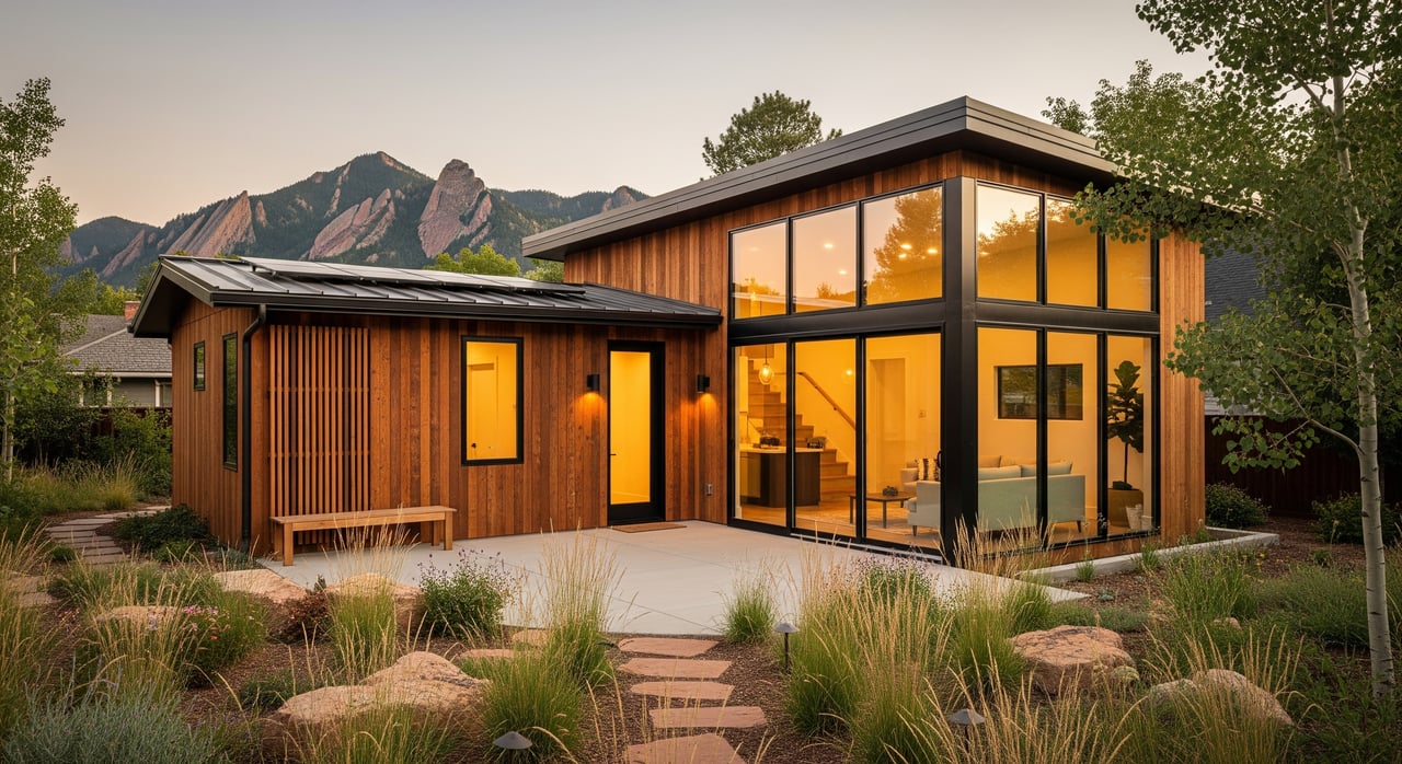
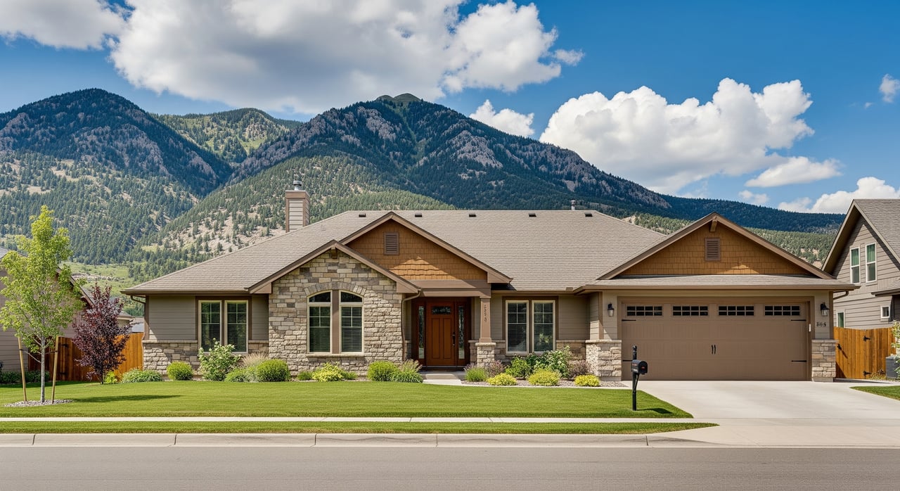
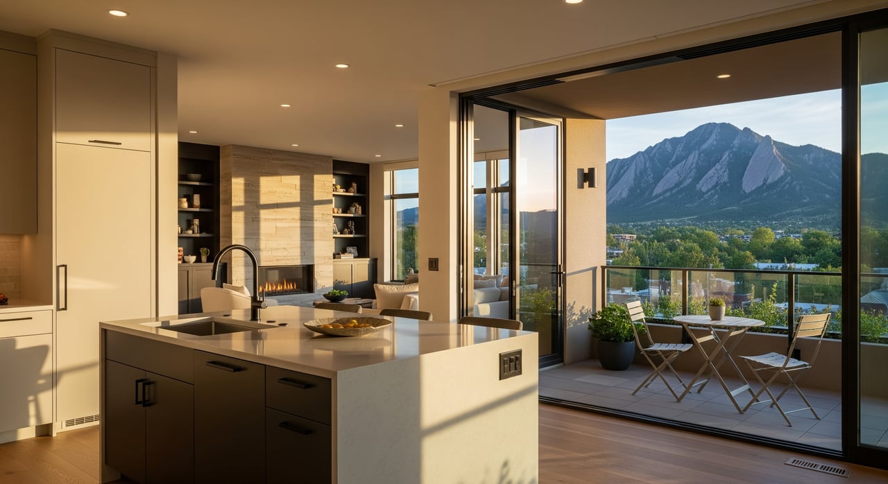
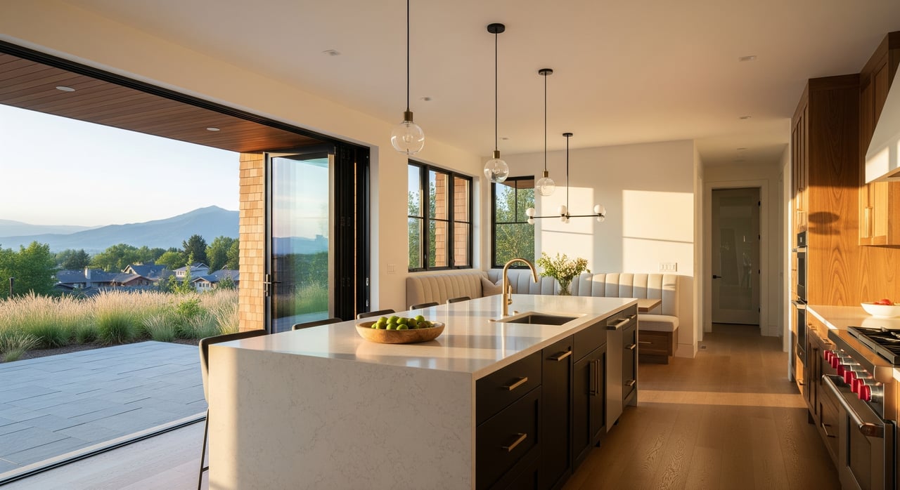
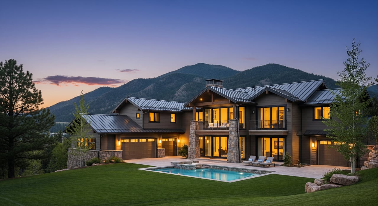
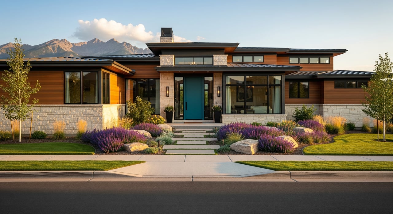
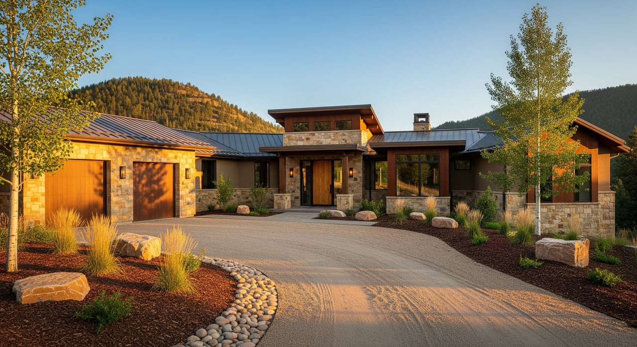
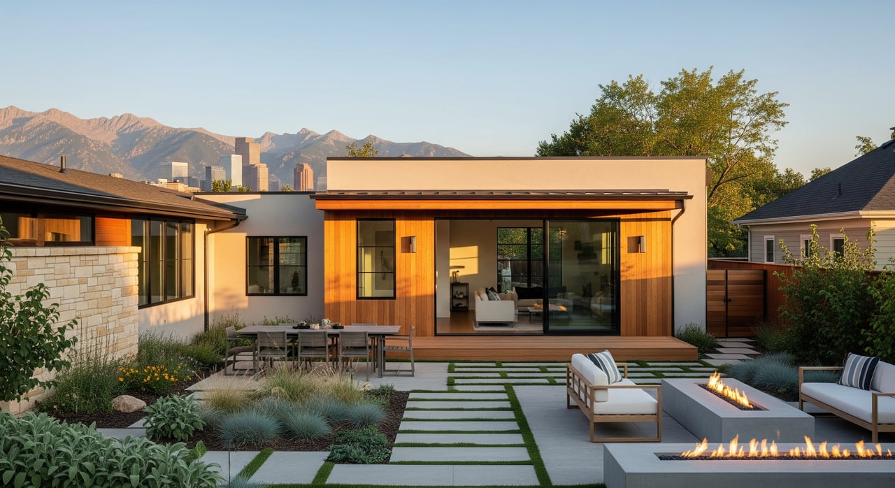
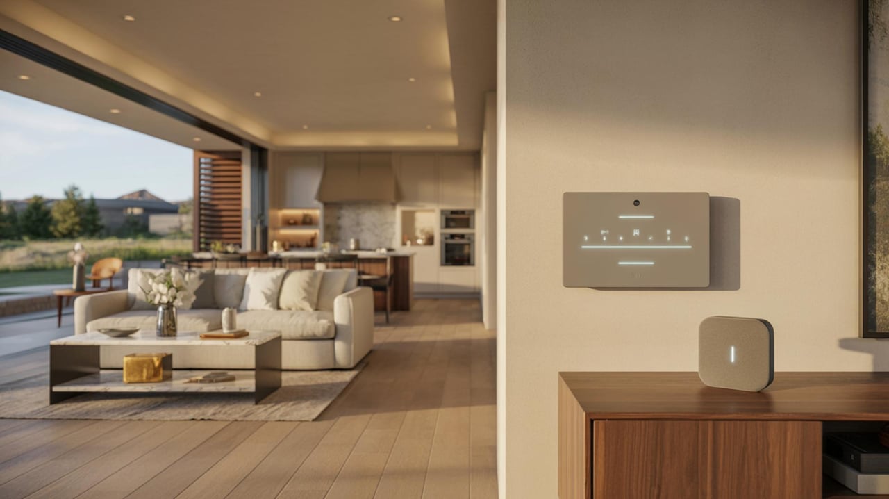
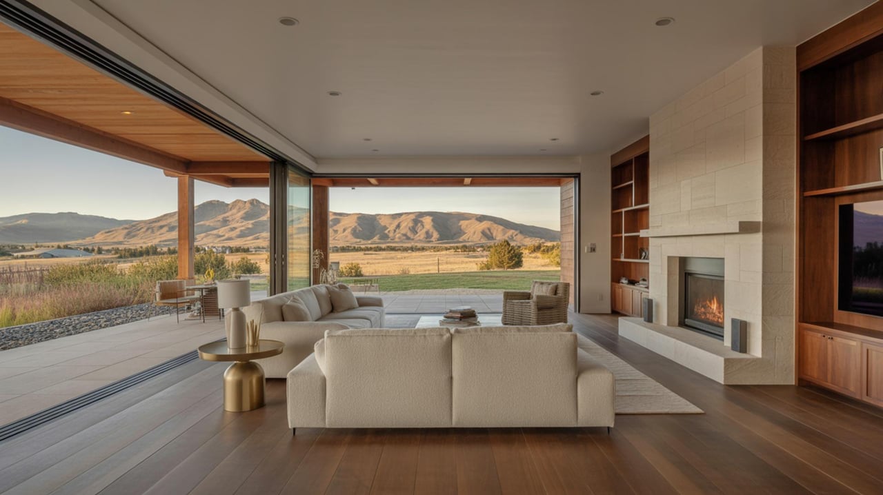
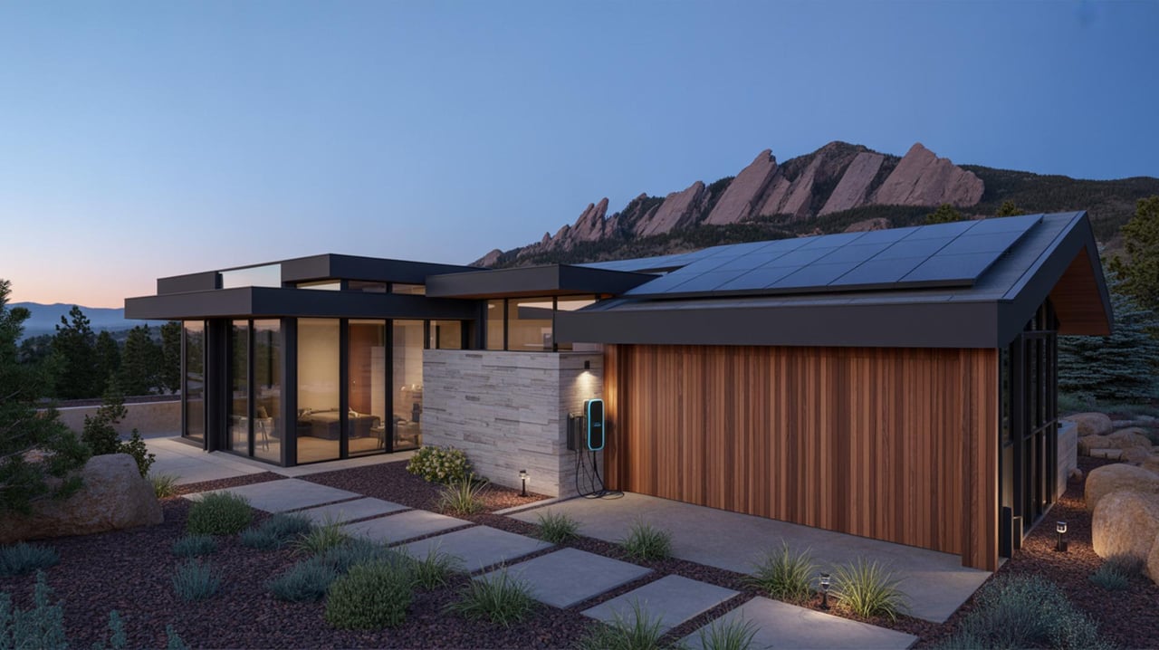
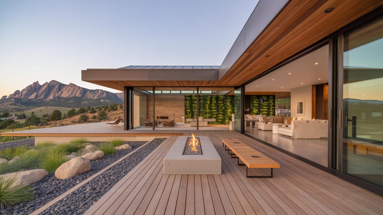
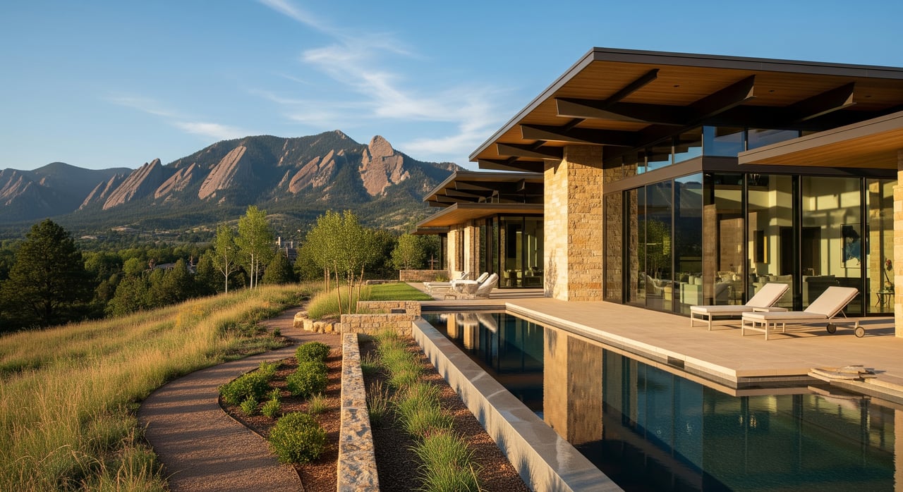
Homes and architecture
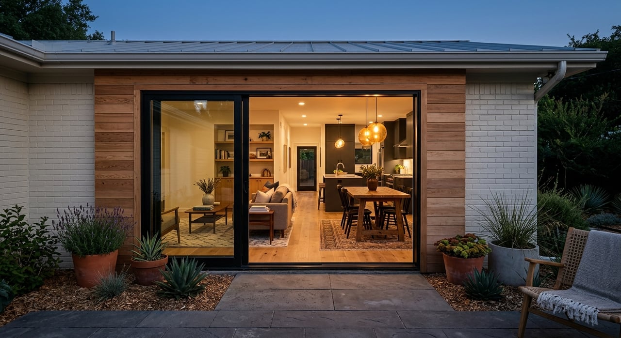
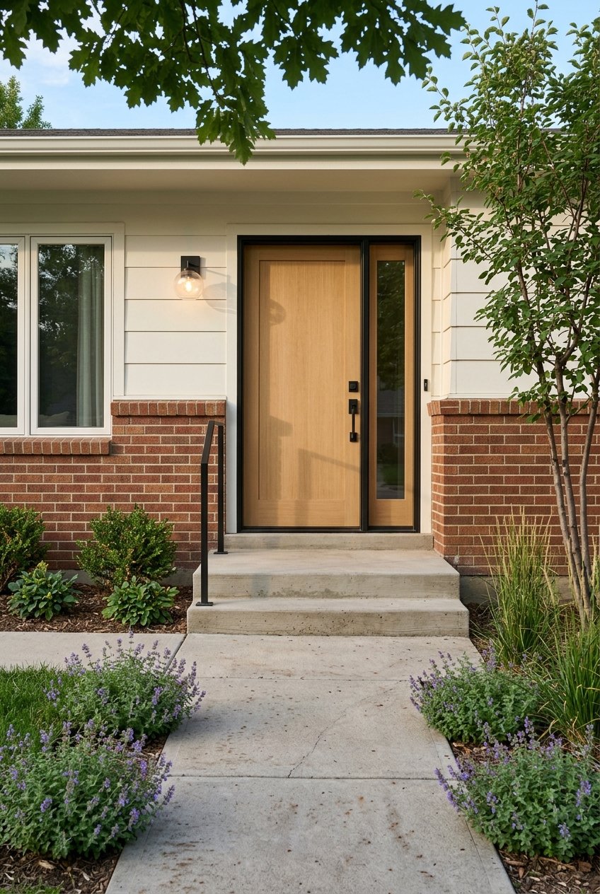
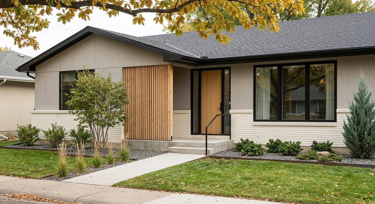
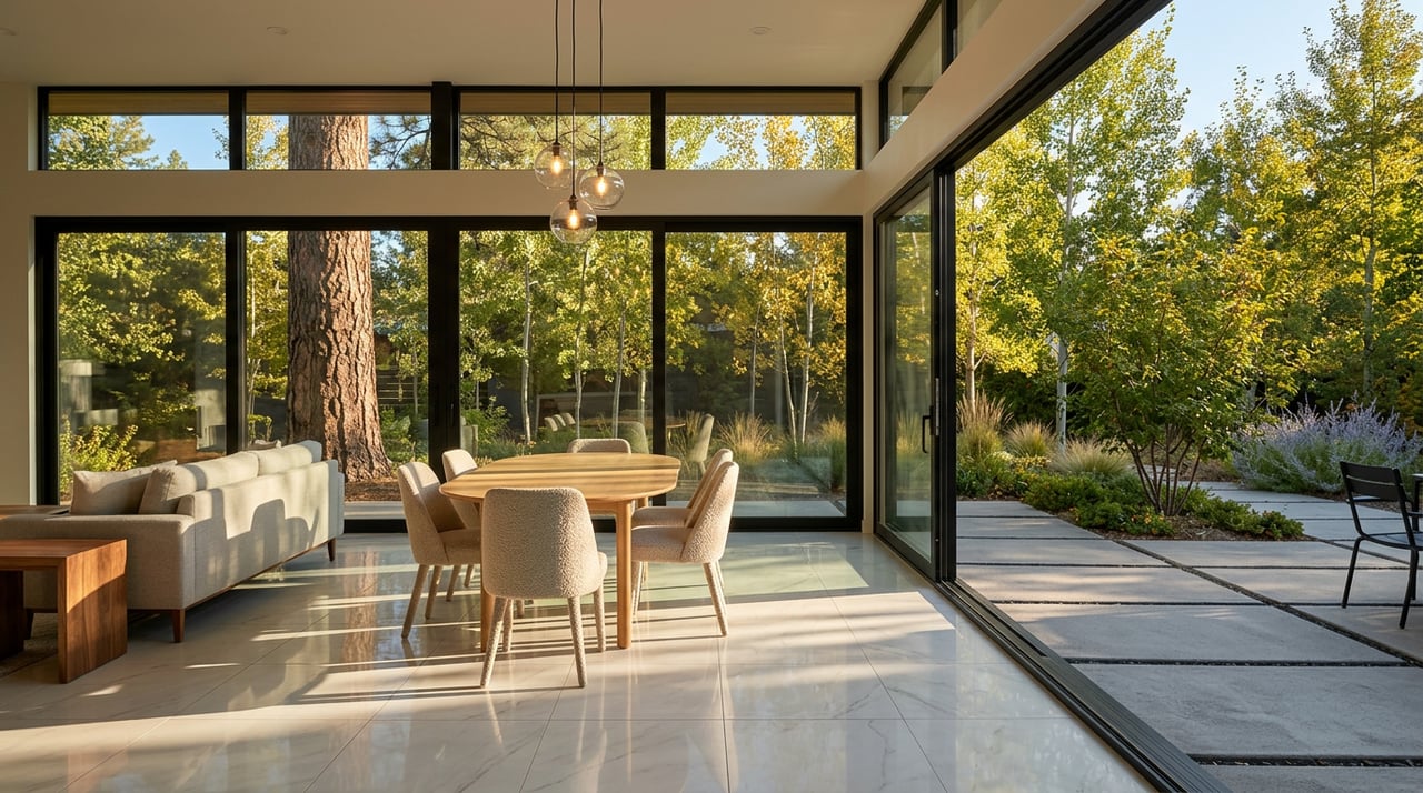
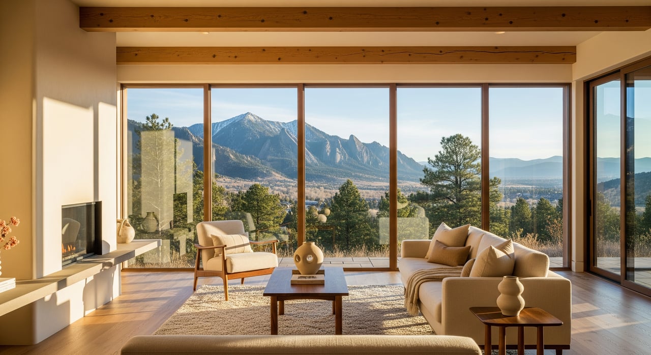
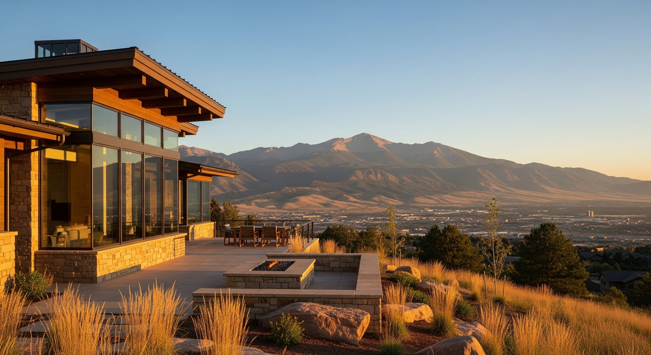
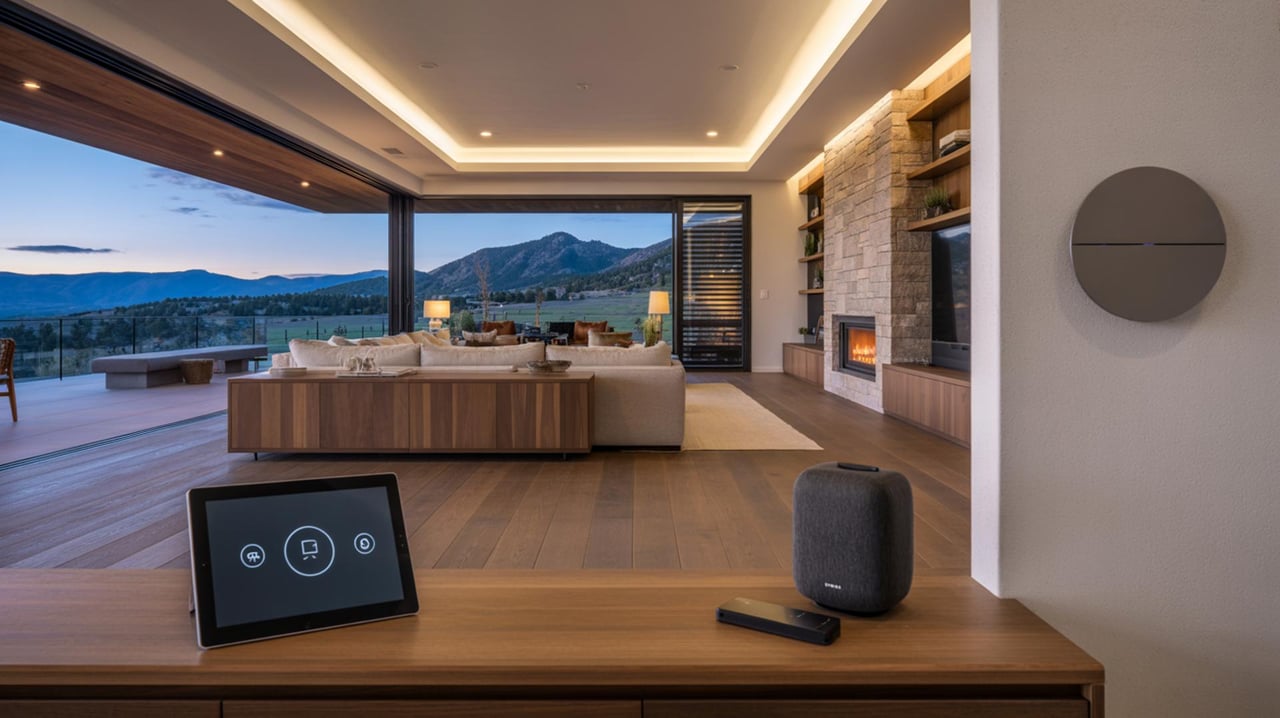
You will find a mix of older ranch and mid-century homes, mountain-modern custom builds, and remodeled properties that maximize daylight and views. Natural materials like wood, stone, and stucco are common, with decks and terraces oriented to the west. Interiors often feature open plans, clerestory windows, and large sliders that connect to outdoor spaces.
Lots and privacy
Lots tend to be larger and irregular, with significant slope and established vegetation that create privacy. View quality depends on siting and neighbor placement. Orientation matters. Many buyers prioritize passive solar gain, morning light for kitchens, and sunset-facing decks.
Utilities, access, and maintenance
Utility service varies by jurisdiction. Some properties within city limits tie into municipal water and sewer. Others in unincorporated Boulder County may use wells and septic systems. Confirm details for each parcel through city or county records.
Access can include narrow, curving roads and steeper driveways. Winter brings snow and ice, so vehicle clearance, snow tires, and snow management are part of the plan. Ongoing maintenance often includes slope stabilization, retaining wall care, drainage tuning, and routine vegetation management for wildfire mitigation.
Permits and building in the foothills
Hillside and foothills standards strongly shape what and how you can build or remodel. Rules address site disturbance, height, massing, erosion control, and revegetation to protect views and the open-space character. Properties may be in the City of Boulder or in unincorporated Boulder County, each with its own review path and utility context.
- City guidance and permits: Start with City of Boulder Planning & Development Services.
- County guidance and permits: See Boulder County Land Use.
For bigger projects, expect to provide geotechnical reports, drainage and erosion control plans, and sometimes view-impact analysis. Construction staging and haul routes may be limited to protect the landscape and reduce disruption.
Wildfire readiness and insurance
Wildfire is a key consideration in the foothills. Many buyers prioritize defensible space, ember-resistant details, and a plan for brush clearance. Check local risk resources and mitigation programs through Boulder County Wildfire Partners and the Colorado State Forest Service wildfire mitigation page. Insurance availability and premiums vary by property, so connect with insurers early in your search.
Smart first steps
- Review parcel-specific wildfire risk maps and mitigation history.
- Evaluate access, driveway grade, and turnarounds for emergency response.
- Budget for ongoing vegetation management and hardening projects.
Schools and community services
Boulder Heights is within the Boulder Valley School District. School assignments depend on exact parcel boundaries. Confirm current assignments and enrollment details using the BVSD school locator. Fire protection coverage varies by jurisdiction and may include City of Boulder Fire Department or Boulder County fire protection districts. Wildfire preparedness and response are high priorities in foothills zones.
Market dynamics and buyer tips
Close-in foothills homes often command a premium for views, larger lots, and open-space access. Inventory can be tight and well-positioned homes may see strong interest. If you plan a significant remodel or a new-build, factor in the higher complexity of hillside construction that may include retaining walls, drainage, and geotechnical work.
How to shop with confidence
- Verify jurisdiction, utilities, and access for each address.
- Walk the site at different times of day to evaluate sun, wind, and views.
- Review recent mitigation work, insurance quotes, and any permits on file.
- Use official sources to confirm trail access and use rules via the OSMP interactive trails map.
Is Boulder Heights a fit for you?
If you want daily trail access, panoramic sunsets, and a short drive to downtown, Boulder Heights delivers a compelling blend of nature and convenience. You will trade easy, flat streets for winding hillside roads, and you will plan for wildfire readiness and ongoing slope care. In return, you get privacy, sky, and a home that lives closely with the landscape.
Ready to explore listings, compare streets and view corridors, or map out a remodel plan before you buy? Connect with Emelie S Griffith for tailored guidance, market context, and design-forward strategies that help you move confidently.
FAQs
How far is Boulder Heights from Pearl Street?
- Many close-in foothills addresses are roughly a 5–15 minute drive to downtown, depending on exact location, road grade, and conditions.
Can you access trails directly from Boulder Heights?
- Trailheads are often within walking or a short drive; confirm exact access points and allowed uses on the OSMP interactive trails map.
Will I have city water and sewer in Boulder Heights?
- It depends on whether the property is in city limits or unincorporated county; verify utilities through city or county records for each parcel.
What does the commute to Denver look like from Boulder Heights?
- Travel times to downtown Denver are commonly 30–45 minutes by car, traffic permitting; public transit is available in Boulder, but last-mile hillside access is limited.
How does wildfire risk affect insurance for a foothills home?
- Underwriting and premiums vary by property; review mitigation status and consult programs like Boulder County Wildfire Partners early in your process.
Which schools serve Boulder Heights homes?
- Schools are assigned by boundary; confirm current zoning and enrollment options using the BVSD school locator.